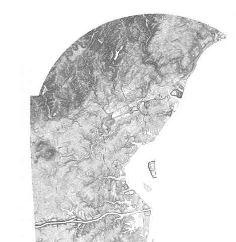
Data > Elevation Contours Dataset for Delaware
Last update: April 1, 2019
Elevation contours at 1-foot contours were derived from a 2014 LIDAR DEM flown for the state of Delaware using a modified version of the USGS Contour Derivation algorithm. Elevation contour data are available for download.
Resource Contact(s)
Delaware Geological Survey Contact Information
Phone: 302-831-2833
Email: delgeosurvey@udel.edu
Email: delgeosurvey@udel.edu
