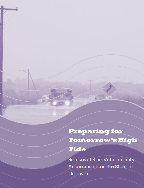
Data > Delaware Sea Level Rise Vulnerability Assessment Mapping Appendix
Last update: February 1, 2012
This Map Appendix was developed and produced by the DNREC Delaware Coastal Programs for use by the Delaware Sea Level Rise Advisory Committee. It contains background information about sea level rise, the sea level rise vulnerability assessment, and maps depicting the exposure of thirty-nine resources to sea level rise under three scenarios. This Appendix is intended to be used in concert with the Delaware Sea Level Rise Vulnerability Assessment Document, which contains detailed descriptions of each mapped resource and their vulnerability to sea level rise.
