Tools & Applications > Coastal Flood Monitoring System
Last update: June 15, 2018
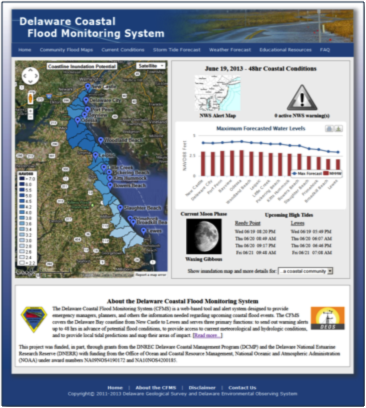
The Delaware Coastal Flood Monitoring System (CFMS) is a web-based tool and alert system designed to provide emergency managers, planners, and others the information needed regarding upcoming coastal flood events.
The CFMS covers the Delaware Bay coastline from New Castle to Lewes, and serves three primary functions: to send out warning alerts up to 48 hrs in advance of potential flood conditions, to provide access to current meteorological and hydrologic conditions, and to provide local tidal predictions and map their areas of impact.
The CFMS serves three primary objectives:
- To send out warning alerts, via text or email, to community members up to 48 hrs in advance of potential flood conditions.
- To provide access to current, real-time tidal and related meteorological and hydrologic conditions.
- To provide local, community-based tidal+surge predictions, with potential flood inundation maps and road elevation profiles.
Resource Contact(s)
Center for Environmental Monitoring & Analysis (CEMA) Contact Information
Phone: 302-831-2294
Email: cema-info@udel.edu
Email: cema-info@udel.edu
Delaware Geological Survey Contact Information
Phone: 302-831-2833
Email: delgeosurvey@udel.edu
Email: delgeosurvey@udel.edu
