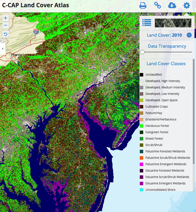
Data > C-CAP Land Cover Atlas
Last update: June 20, 2018
This Data Portal serves as a platform to engage all stakeholders in the five coastal Mid-Atlantic states, putting all of the essential data and state-of-the-art mapping and visualization technology into the hands of the agencies, industry, community leaders, and stakeholders engaged in ocean planning.
