Projects & Reports > A Data GAP Analysis and Inland Inundation Survey for the Delaware Coastline:Final Report and Recommendations
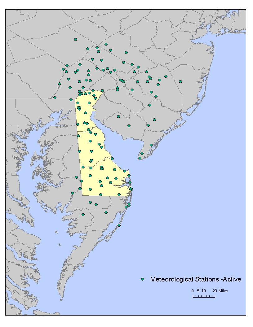
This project included an exhaustive inventory of real-time and archived data suitable for coastal flood monitoring and research. The inventory includes meteorological, tidal, stream flow and buoy data sources, along with ancillary sources of coastal information (i.e. research publications, non-digital records, modeling, etc.). The inventory has lead to a series of recommendations as to the data needed to reach an “optimum” coastal monitoring network, and the spatial placement and temporal resolution of additional sensors that may need to be deployed to reach the optimum configuration. Thus, the GAP Analysis defines the present state of coastal data collection efforts across the state, suggests an “optimum” data collection network for coastal flood monitoring and research, identifies “gaps” in the present network of stations and recommends data that need to be added to the current network configuration. An inventory of available high water marks from previous coastal flooding events has been created to aid in understanding the relationships between water levels at tidal monitoring points and inland locations. All available high water records have been identified, their history confirmed and the inundation level recorded. Much of this data has been transcribed from handwritten forms to digital media. The verification of the handwritten material will continue beyond the duration of this project. The inundation data will be used in conjunction with observed tide heights at tidal monitoring points to better understand the inland inundation associated with various tidal levels along the coast.
Resource Contact(s)
Center for Environmental Monitoring & Analysis (CEMA) Contact Information
Email: cema-info@udel.edu
