Tools & Applications > Delaware High Water Mark Database
Last update: June 20, 2018
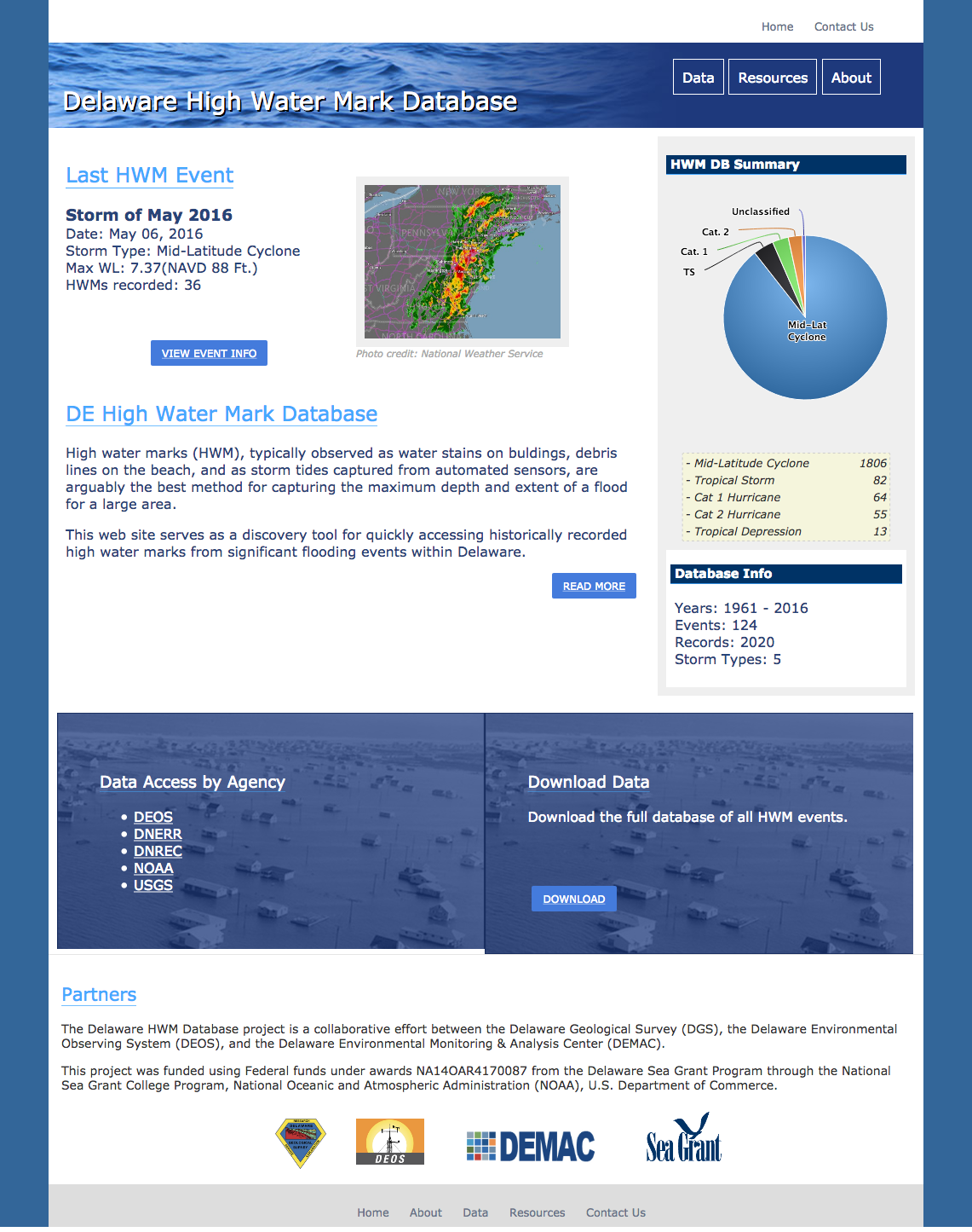
High water marks (HWM), typically observed as water stains on buldings, debris lines on the beach, and as storm tides captured from automated sensors, are arguably the best method for capturing the maximum depth and extent of a flood for a large area.
This web site serves as a discovery tool for quickly accessing historically recorded high water marks from significant flooding events within Delaware. It collects, manages, and displays high water marks (HWMs) that are observed throughout Delaware as a result of flooding events. Historical peak water levels can be extracted for past storms or for a selected geographic area.
Resource Contact(s)
Delaware Environmental Observing System (DEOS) Contact Information
Phone: 302-831-6906
Email: deos-info@udel.edu
Email: deos-info@udel.edu
Center for Environmental Monitoring & Analysis (CEMA) Contact Information
Phone: 302-831-2294
Email: cema-info@udel.edu
Email: cema-info@udel.edu
Delaware Environmental Monitoring & Analysis Center (DEMAC) Contact Information
Delaware Geological Survey Contact Information
Phone: 302-831-2833
Email: delgeosurvey@udel.edu
Email: delgeosurvey@udel.edu
